
Kala Dungar: reading the Rann from Kutch’s Black Hills
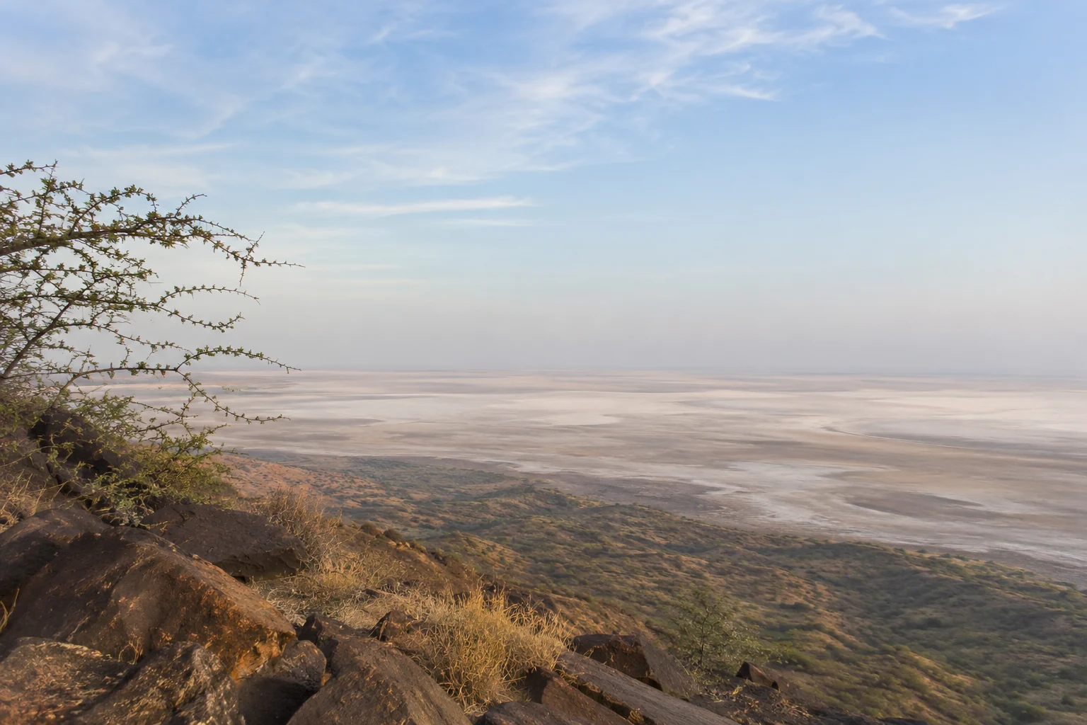
The view from Kala Dungar changes your sense of the Rann. From above, the salt landscape becomes a broad pattern of pale surfaces and distant water, while the hill’s religious association adds another reason to slow down and listen.
- Northern Kutch
- Elevated Rann viewpoint
- Dattatreya tradition
Why the viewpoint is different
Gujarat Tourism identifies Kalo Dungar, also commonly written Kala Dungar, as Kutch’s highest point at about 462 metres. It lies north of Khavda and offers a view across the Great Rann.
The scene is not fixed. Haze, season and water conditions affect how far you can see and how the surface reads. This is a place for scale and atmosphere, not a guarantee of the sharply coloured panorama used in a promotional image.
Source: Gujarat Tourism: Kalo Dungar ↗A temple and a story of compassion
The hill is associated with a temple dedicated to Dattatreya. Gujarat Tourism relates a legend of the deity offering sustenance to hungry jackals, connecting the location with a continuing religious tradition.
Treat the legend as a devotional narrative. If you want to understand temple customs, ask a representative rather than assuming that a wildlife sighting or a particular ritual will occur during a tourist visit. Do not seek to attract animals for a photograph.
Source: Gujarat Tourism: Kalo Dungar ↗Build time for the hill itself
A viewpoint visit needs more than the time spent driving to a pin on a map. Allow for the approach, walking, orientation and a pause to look. Discuss steps, uneven surfaces and your group’s walking tolerance in advance.
Carry sun protection and water, and use sensible footwear. The wind and exposure can make a stop feel different from the conditions down in Bhuj. Follow barriers and avoid standing on an edge to reproduce an image taken from another position.
Photography and restricted areas
Northern Kutch includes sensitive and restricted areas. Permission to visit a viewpoint is not permission to continue into every road, photograph a security installation or operate a drone. Follow current signs and directions from the responsible authorities.
For landscape photographs, use a safe public viewpoint and keep the route clear for others. Do not ask a driver to stop on a bend or obstruct traffic. A patient view of changing light is more rewarding than taking unnecessary risks for a dramatic frame.
Balance the hill with the White Rann
Kala Dungar and the White Rann can be discussed within the same northern regional plan, but choosing both for their best light creates a timing decision. You cannot spend the same sunset in two different places.
Tell us which experience matters more and whether village visits are also priorities. A route built around one main evening is usually more comfortable than a checklist that arrives everywhere at the last moment.
Before you go
Are Kala Dungar and Kalo Dungar the same place?
Yes, these spellings are used for the Black Hills viewpoint north of Khavda in Kutch.
Will we definitely see jackals?
No. Wildlife sightings are not guaranteed, and visitors should not feed or attract animals.
Can we photograph anywhere nearby?
No. Follow current restrictions and authority instructions, especially around sensitive northern roads.
Sources & further reading
Historical, landscape and craft context is drawn from the organisations below. Route suggestions and visitor etiquette are our editorial guidance. Check current visitor arrangements before travelling.
Build a journey around what interests you.
Share your dates, group size and the places you would love to understand better. Our Bhuj team will help plan a sensible route.
Explore private cabs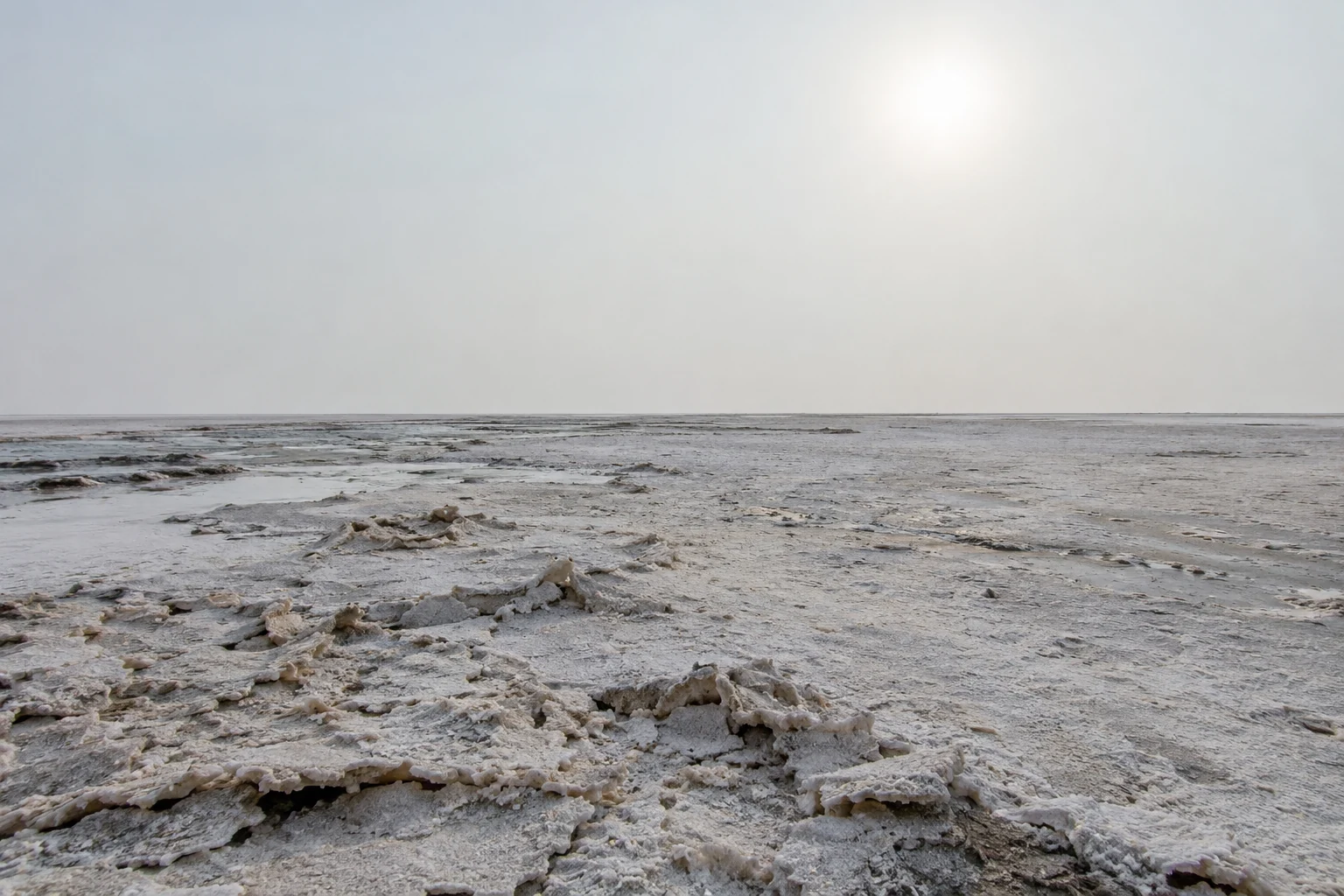
Why is the Rann of Kutch white? The story behind the salt
Understand how the White Rann forms, why its appearance changes with the seasons, and how to plan a thoughtful salt-desert visit from Bhuj.
Read the story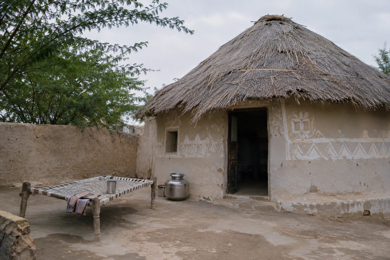
Dhordo, Hodka and the Banni villages: a slower way to see Kutch
Explore Dhordo, Hodka and Gandhi nu Gaam through bhunga architecture, embroidery and respectful village visits, with practical advice for a northern Kutch day.
Read the story